| |
| George R. Kasica
METEO 241 Portfolio #1: Remote Sensing as it relates to tropical cyclones
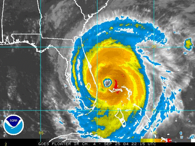
In this first assignment of the Meteorology 241 course "Tropical Meteorology" I will explore some of the remote sensing tools that are available to study and help to forecast hurricanes and other tropical cyclones. As a subject for this study I chose Hurricane Jeanne from the September 2004. My reasons for choosing Jeanne were varied. A major one among them was the fact that Jeanne came onshore almost directly on top of the NASA facility at Kennedy Space Center in Florida, and being a person very interested in the space program, I was already aware of the storm from a few years earlier and some of the problems it created due to the high winds associated with it coming on shore so close to the facility. When I began to research which storm I would use, I discovered quite quickly that the three primary items of data that I will explore and explain below, a Vortex Data Message, scatterometer data and lastly a wind analysis from the Hurricane Research Division were all available for this storm at almost the exact same period. Looking closer I saw it was actually within almost the same one hour time period from 00-0100Z (Zulu or Greenwich Mean Time which is +4 hours from the Eastern Daylight Time that was in effect on 9/26/04). But enough with the preliminary information lets start talking about Hurricane Jeanne, and what better way to do that than to take brief look back at the history and track of the storm up to the point that it made landfall on 9/26/04! Click the Next Page Button below and we'll be on our way!
|