
The weather conditions on December 2, the first day of the WxChallenge for Kansas City, became quite interesting. On December 1, I forecasted a low temperature of 25 degrees for the period from 06Z December 2 to 06Z December 3, the time frame for the WxChallenge, when the actual low was 21 degrees. To see what went wrong, let's start by examining the big picture. You can see on the forecast surface map below valid at 12Z December 2 that a warm front was supposed to approach Kansas City from the west in association with a series of low pressure systems to the north and northwest and high pressure along the Gulf Coast. This placed Kansas City in an area of southerly flow with a tightening pressure gradient.
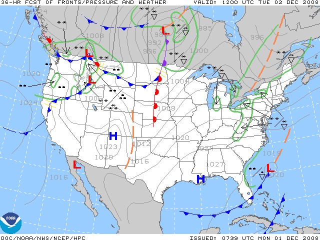
This is a 36-hour surface forecast that shows a warm front just west of Kansas City, courtesy of the
Aviation Weather Center.
The upper-air pattern was fairly benign on the morning of December 2. The 24-hour forecast image of 500-mb heights, wind and vorticity, below, shows Kansas City still in an area of northerly winds behind a trough along the Appalachian Mountains. The disturbances near the Canadian border were still quite far away to have a major impact on the area.
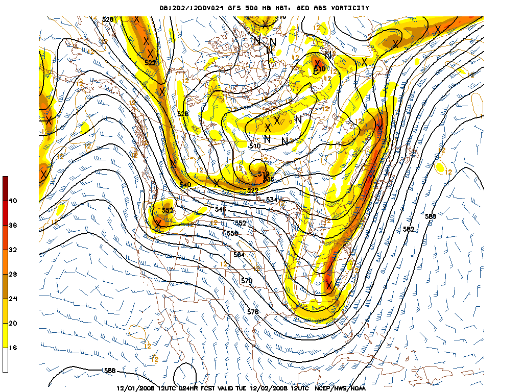
This is a 24-hour forecast image of 500-mb heights, wind and vorticity that shows Kansas City in an area of northerly flow behind a trough along the east coast,
courtesy of the National Centers for Environmental Prediction.
One very important tool I always use to guide me in my forecasts is the MOS tables from NOAA's Meteorological Development Lab. For the morning of December 2, the GFS predicted a low temperature of 25 degrees, the NGM 26 degrees, with the ETA slightly warmer at 28 degrees. I was conflicted as to what side of the MOS forecasts to lean towards. Even though clear skies were predicted, I was afraid there wouldn't be the right conditions for optimal net radiational cooling because of the tightening pressure gradient that I mentioned. Then, after looking at this visible satellite loop from UCAR that showed snow on the ground in northern Missouri, I finally decided to forecast on the lower side of MOS with a low of 25 degrees, but as you remember, the temperature dropped all the way to 21 degrees. This climate summary verifies that one inch of snow was on the ground December 1.
While I don't exactly consider my forecast to be that bad, after all I did better than the national consensus in the WxChallenge, I certainly didn't expect the temperature to drop that much. Next, I'll tell you why there was such a drop and what I learned as a result of this forecast.
1 2 3 4